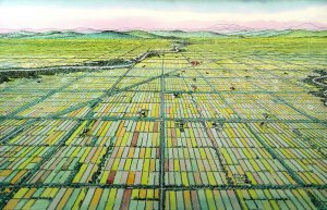

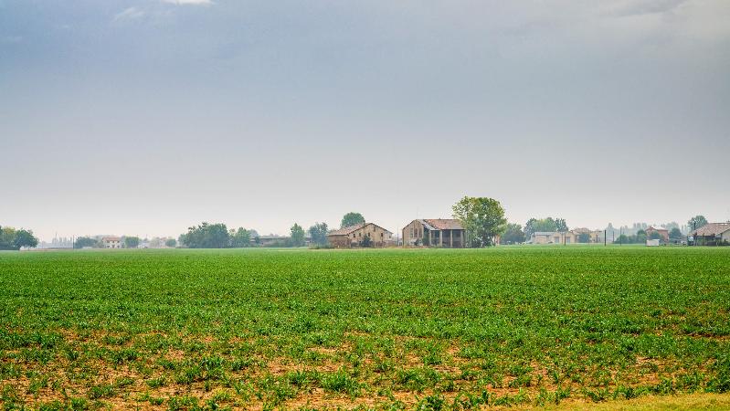


Having conquered Bologna from the Galli Boi (Gauls), the Romans began large-scale land reclamation works to enable cultivation of vast areas of the typical swamplands of the primitive plain landscape.
The plains were thus subdivided following a strict geometry, consisting of a grid of roads and canals, which the Roman engineers created in a few years. Huge quadrangles of 710 square metres (about 50 hectares), then divided into 100 equal areas (often still in use today), marked out the countryside.
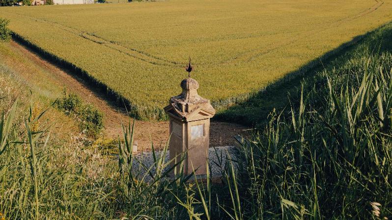
Every “centuria” was lined with roads (limites), crossing the plain orthogonally. At the crossroads, they placed boundary stones with pagan images, precisely where today there are often votive Christian buildings.
The “centuriazione” had multiple functions, from governing the water for irrigation to the division of the fields into estates. Since then, this estate division has remained a characteristic of the Bolognese countryside and gave the management of sharecropping the most suitable method of production, absolutely predominant until at least the 19th century.
Interests
- Lifestyle