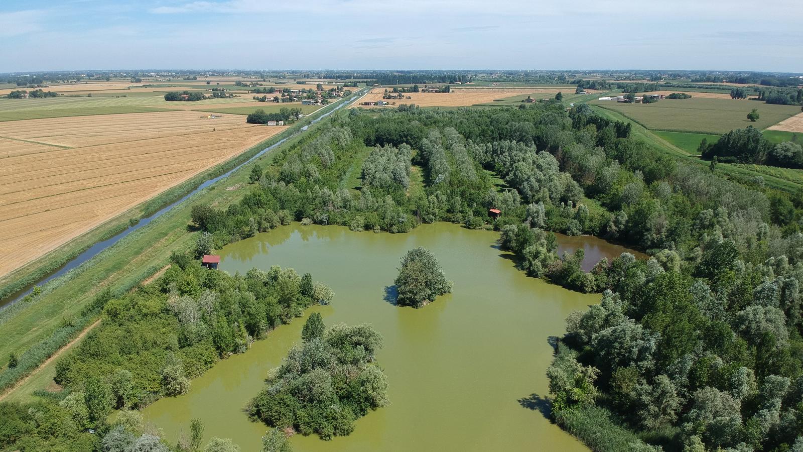
In the hamlet of Padulle the Dosolo Flood-Basin was built in 1925 to defend the territory of Sala Bolognese against the temporary floods of the Acque Alte Canal manifold, that is the Dosolo.
Water coming from the high plain flows into the flood-basin and stops there till rains weaken and water flows towards the sea allowing the introduction of water from the Dosolo into the Reno.
The Flood-Basin has undergone major environmental improvement works since 1991 that have turned it into a 50-hectare naturalistic area of ecological restructuring as well as an example of biodiversity.
Fields and meadows alternate with shrubs and hedges like hawthorn, privet, blackthorn, eglantine and cornel. There are also forests where alders, ashes, elms, English oaks, maples, poplars and willows are the prominent trees.
Peregrins and reptiles live in two wet zones lying in the centre and north of the Flood-Basin.
An ex-stall that once managed the agricultural activity in the entire area houses the Water-Pumping Plant of Bagnetto also deserves a mention: together with the nearby naturalistic area of ecological restructuring in the Dosolo Flood-Basin, it is one of the major land reclamation works and hydraulic systems.
The Dosolo Flood-Basin is managed by the Consorzio di Bonifica Renana.
Some paths equipped with traffic signs make the Flood-Basin ideal for free and guided walks (also for disabled people). The museum places satellite tracking devices at people's disposal to make their tours easier.
Map
The Dosolo Flood-Basin
Via Zaccarelli 16
40010 Sala Bolognese
Telephone: 0039 348 0119208
Interests
- Nature & Oasis
Insights

